US Topo Maps
- 安卓
- 5天前
- ⏳ 已提交(12-03 03:09)
- 6 ℃
- 0 评论
摘要
 越野和户外导航。多种地图:地形、航拍、海图等
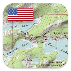
ATLOGIS Geoinformatics oHG
备案号:待更新
 安卓
安卓《》游戏 APP 是ATLOGIS Geoinformatics oHG开发的安卓系统应用软件,版本号:4.3.0 free,由丢塔游戏网整理,欢迎下载体验。
Easy to use outdoor navigation app with free access to the best topographic maps and aerial images for the USA.
*** Please use USGS National Map or OSM if you need most recent maps ***
Choose between >20 map layers (topos, aerials, sea charts, flight charts, ...)
Turn your Andoid Phone/Tablet into an outdoor GPS for trips into the backcountry.
This app gives you similar mapping options as you might know from Garmin GPS handhelds.
Main features for outdoor-navigation:
• Download of map tiles for OFFLINE USAGE (PRO-VERSION ONLY !)
• Display Real-Time nowCoast Weather Information and NEXRAD Weather Radar
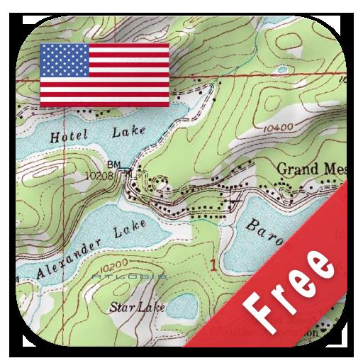
• Free access to more than 100.000 seamlessly stitched USGS topographic maps - easy to use as browsable map layer
• Create and edit Waypoints
• GoTo-Waypoint-Navigation
• Create and edit Routes (PRO only !)
• Route-Navigation (Point-to-Point Navigation)
• Track Recording (with speed, elevation and accuracy profile)
• Tripmaster with fields for odometer, average speed, bearing, elevation, etc.
• GPX/KML/KMZ Import/Export
• Search (placenames, POIs, streets)
• Customizable datafields in Map View and Tripmaster (e.g. Speed, Distance, Compass, ...)
• Share Waypoints, Tracks or Routes (via eMail, Dropbox, Facebook, ..)
• Use coordinates in WGS84, UTM or MGRS/USNG (Military Grid/ US National Grid)
• Get NWS Weather Forecast
• Track Replay
• and many more ...
Available map layers:
• USGS DRGs: Seamless coverage of topo maps of the USA at Scales 1:250.000, 1:100.000, 1:63.000 and 1:24.000/25.000
• USGS High Resolution aerial imagery
• USGS National Map
• Orthoimagery for conterminous US
• Google Maps (Satellite images, Road- and Terrain-Map)
• Bing Maps (Satellite images, Road-Map)
• Open Street Maps
• Earth At Night
• FSTopo Forest Maps
• NOAA Nautical RNC Charts
• Public Land Ownership (Padus)
• Flight Charts
Available map overlays:
• Hillshading overlay layer for OSM, Google or Bing maps (PRO-VERSION ONLY !)
• R
《》公司开发
ATLOGIS Geoinformatics oHG
《》软件版本
4.3.0 free